New features for the Metlink app and website
Today, Metlink have launched several updates to their website to provide commuters with a more user-friendly experience.
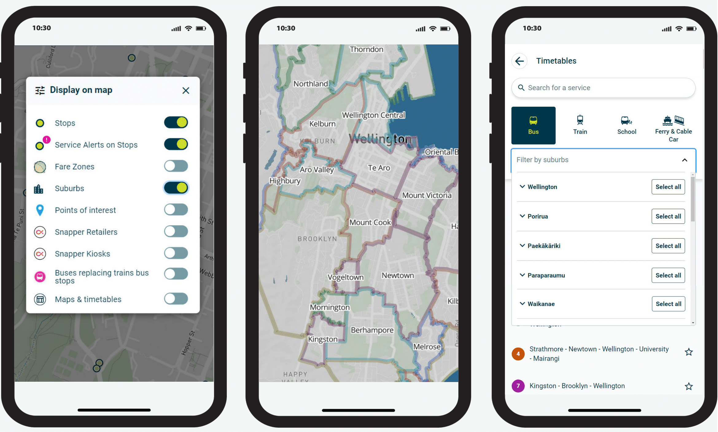
The update includes the introduction of a suburb layer on maps, allowing users to interactively explore stops and services within their neighbourhoods. This can be used by toggling the suburb layer on the map, visiting the suburb page by clicking the suburb on the map or using the dropdown filter to view stops and services in the area.
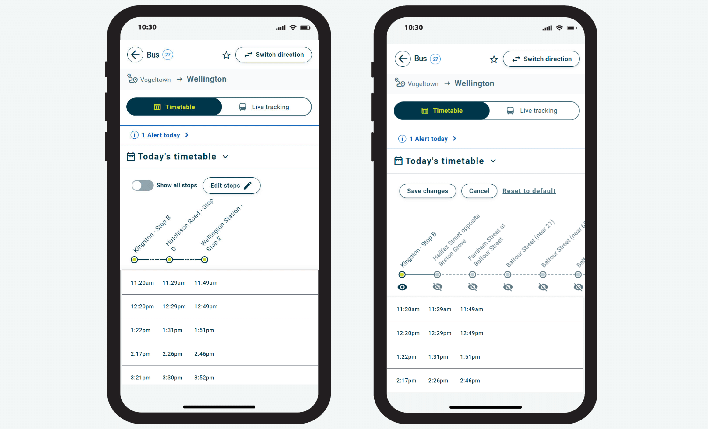
Timetables have also been improved to now include live data for the day's services, ensuring real-time accuracy. Each trip will feature a carousel display, and users can easily view all vehicles associated with a service on trip pages. New bus capacity icons have been integrated, so users can see how full their bus will be, and for added convenience, past trips and stops can be hidden to reduce scrolling.
The Metlink app update will be available from 4 October.